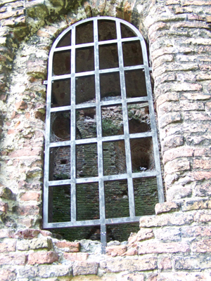
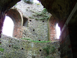
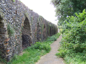
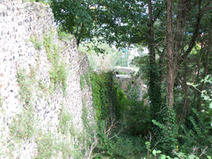
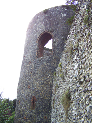
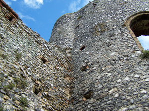
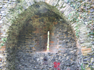
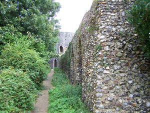
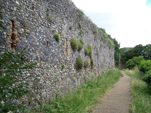
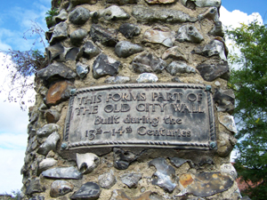
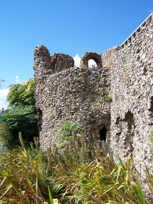
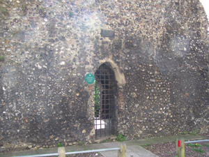
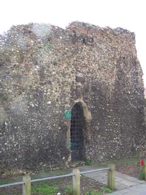
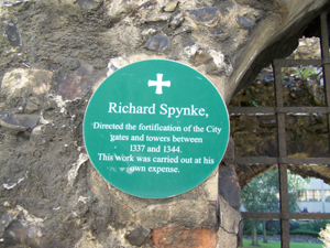
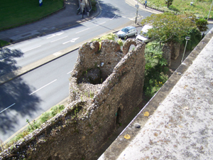
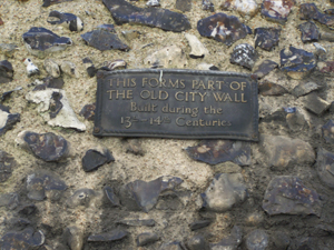
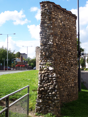
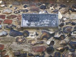
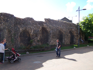
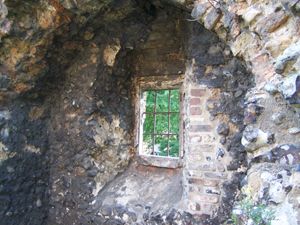
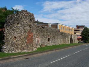
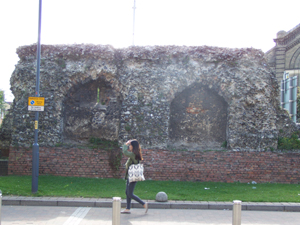
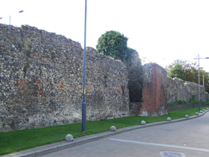
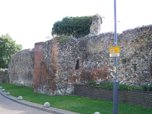
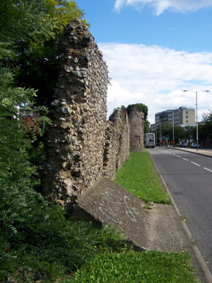
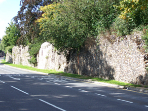
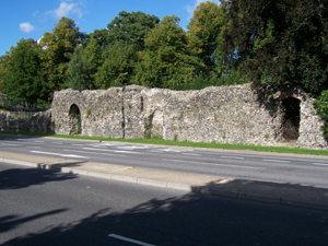
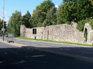
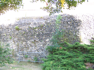
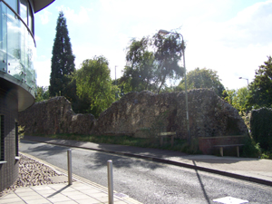
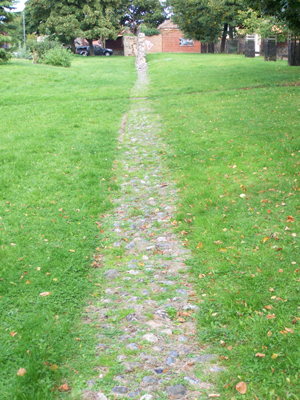
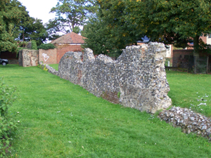
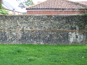
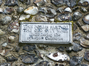
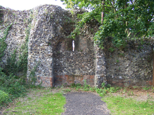
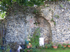
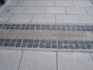
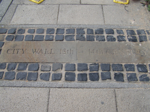
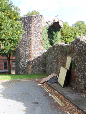
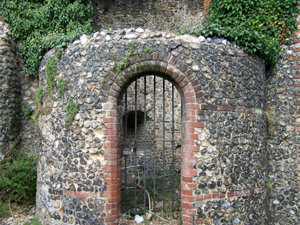
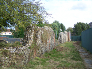
Norwich City Defenses 12-14 Century
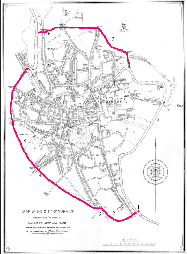
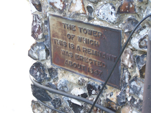
This is an old map of the city of Norwich, the red line indicates where the city wall was at the time this map was drawn. The numbers 1 to 8 are indicators of the images below, so image Set 1 relates to area 1 and so on, and not forgetting number 8 Cow Tower
This Map of Norwich from the late 16th century was found on a website full of wonderful images, www.georgeplunkett.co.uk so credit for it must go to George Plunkett.
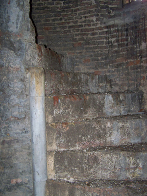
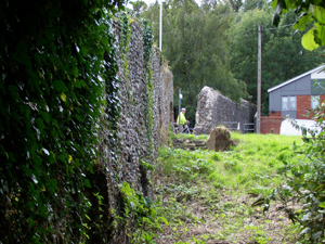
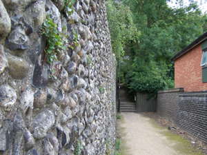
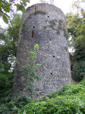
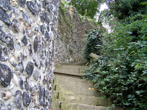
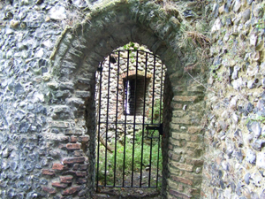
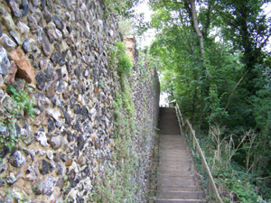
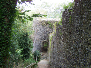
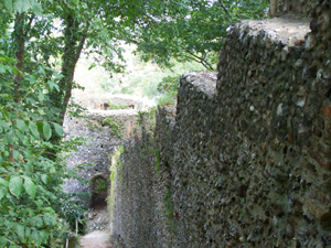
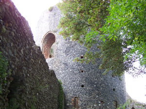
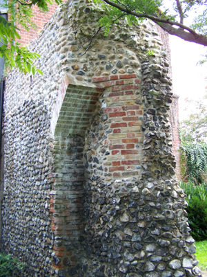
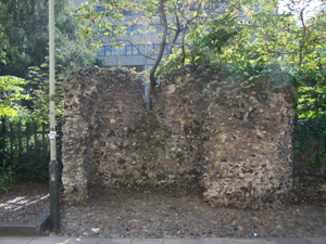
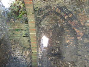
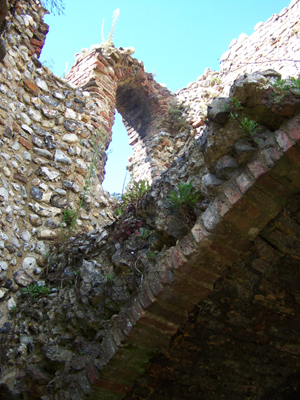
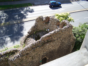
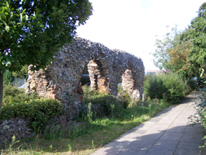
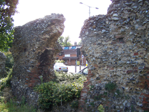
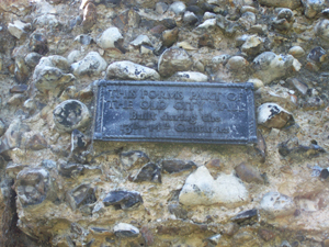
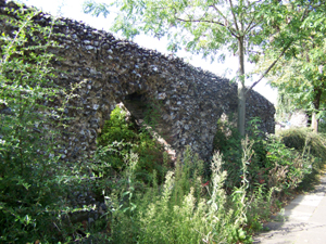
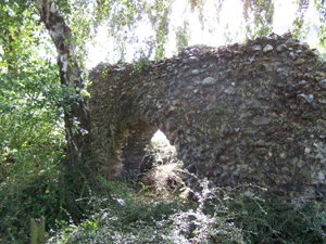
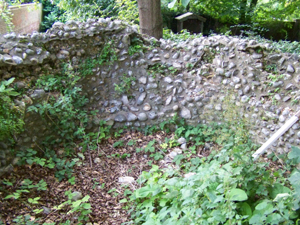
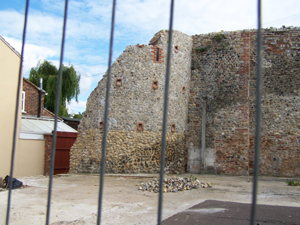
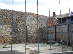
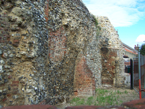
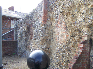
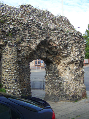
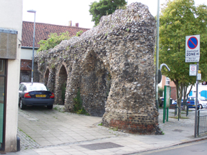
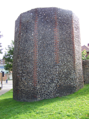
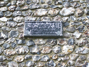
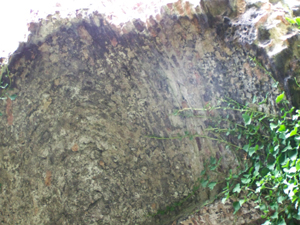
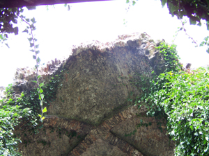
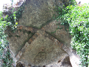
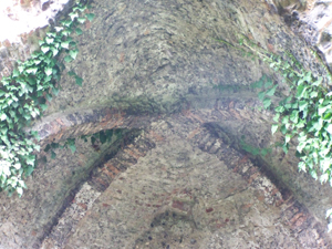
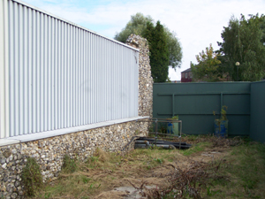
Set 1
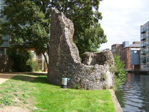

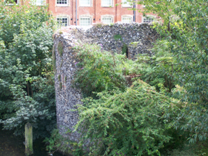
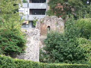
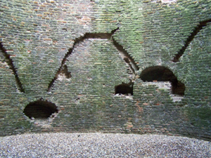
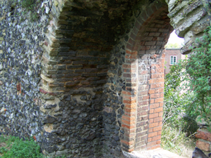
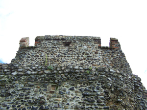
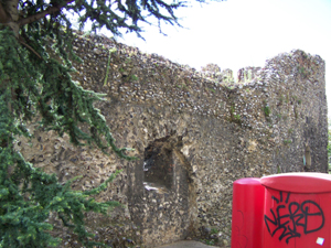
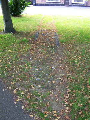
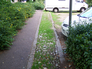
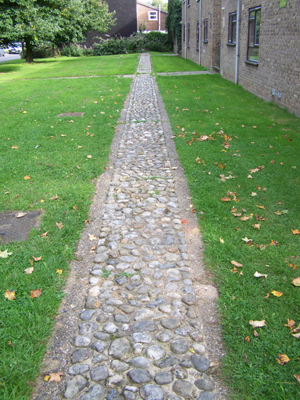
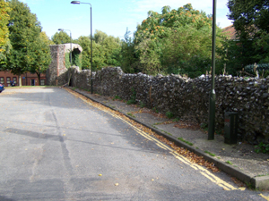
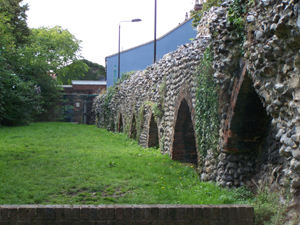
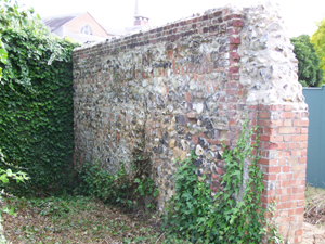
Set 2
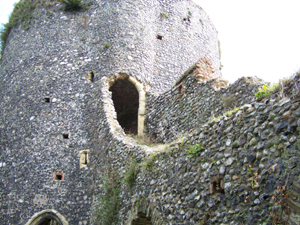
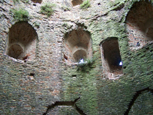
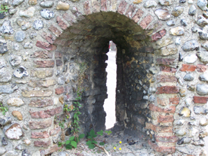
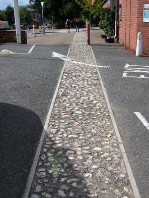
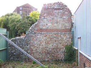
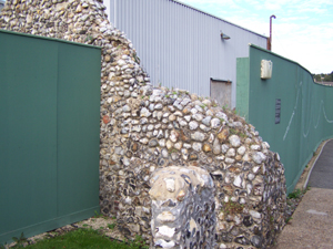
Set 3

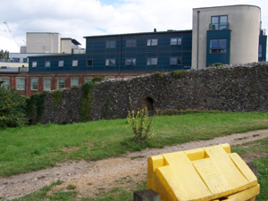
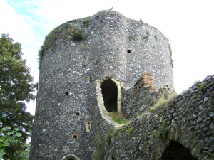
Set 4


Set 5
Set 6

Set 7
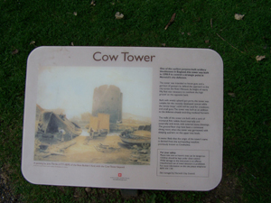
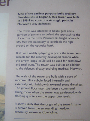
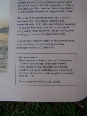
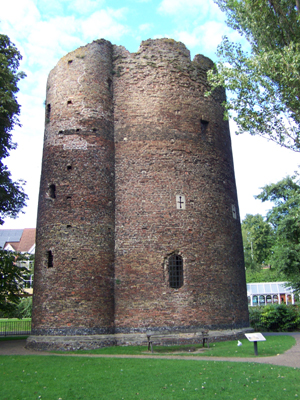
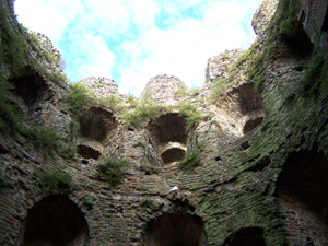
Set 8 Cow Tower